
Phlaeng Faifa Fort

PLACE: PHLAENG FAIFA FORT (ป้อมแผลงไฟฟ้า)
LOCATION: Talat sub-district in Phra Pradaeng District
GPS Coordinates: 13.657226, 100.532761
OPENING HOURS: daily
ADMISSION: free
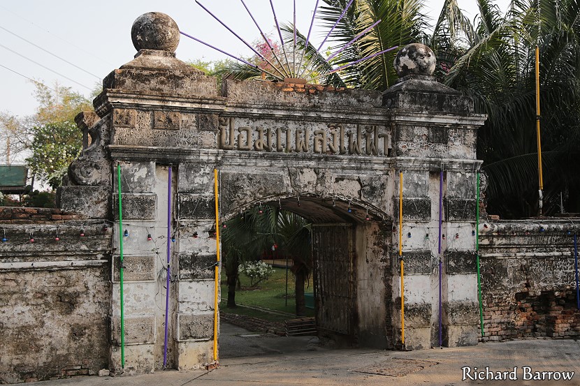
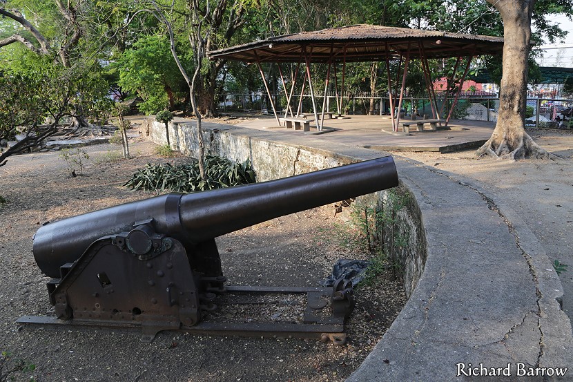
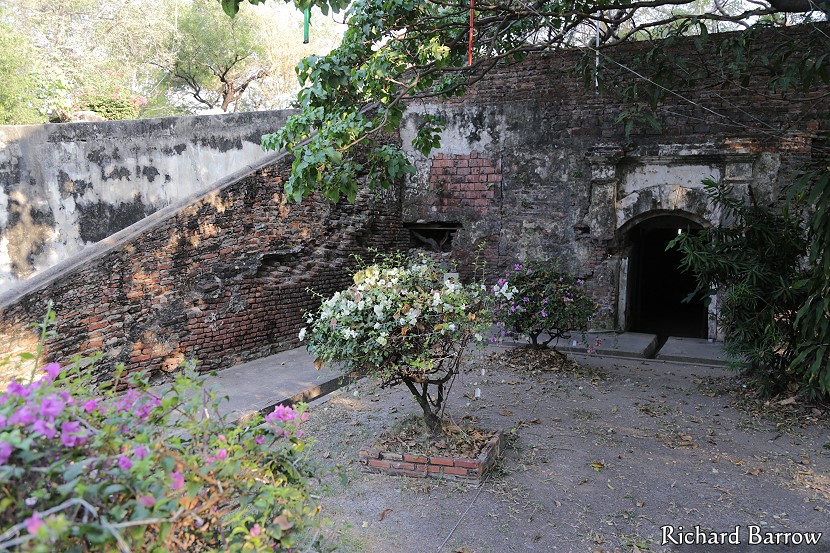
This old fortress is located at Tambon Talat. Only a few parts of the fortress are still in good condition. It was one of the fortresses of Muang Nakhon Khuaenkhan, serving as a military base at the mouth of the Chao Phraya River. There are many fortresses because King Rama I commanded that the fortresses be built for protecting the kingdom. At present, Muang Phra Pradaeng Municipality has developed the area of the fortress into a recreational area for the townspeople. The upper part of the fortress displays several old cannons. Trees have been planted all around.
Map for Phlaeng Faifah Fort:
Tourist attractions in this area:
[column-group]
[column]
Phra Pradaeng district:
- Bang Nampheung Floating Market
- Siamese Fighting Fish Gallery
- Sri Nakhon Khuean Khan Park
- Phlaeng Faifa Fort
[/column]
[column]
Talat sub-district:
[/column]
[/column-group]
Samut Prakan is divided into six districts: Amphoe Mueang, Amphoe Bang Bo, Amphoe Bang Phli, Amphoe Phra Pradaeng, Amphoe Phra Samut Chedi and Amphoe Bang Sao Thong. Click on the links to see tourist attractions from each of those districts. Or click here to see a Map of Tourist Attractions in Samut Prakan Province.